
Orthomosaic maps
Capture high-precision spatial data with faster turnaround times. At Perth Drone Centre, we offer professional aerial surveying and mapping services across Perth and Western Australia using industry-grade drones and RTK-enabled systems. Whether you’re surveying land, mapping a site, or generating CAD-ready outputs, we deliver the accurate data you need
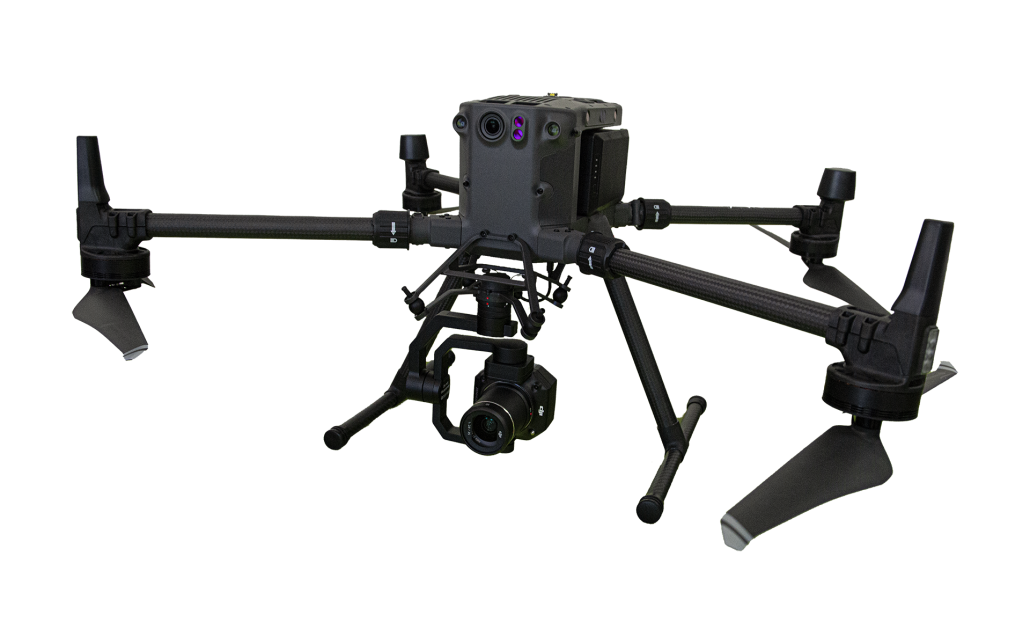
Accurate Drone Surveys With CAD-Ready Outputs
Our aerial surveying workflows are designed to meet the needs of engineers, developers, and planners. Using advanced photogrammetry techniques, RTK drones, and high-resolution imaging, we capture detailed spatial data that supports planning approvals, site development, and asset management.
Every flight is carefully planned using automated waypoint systems to ensure repeatability and precision. We also deploy ground control points (GCPs) for enhanced centimetre-level accuracy across your project site.
Once the data is captured, we process it using specialist software to deliver:
All outputs are geo-referenced and aligned to suit your workflows, whether you’re working in GIS, CAD, or civil design platforms.
We use the very latest in industry leading RPAS technology to provide high precision surveying solutions where accuracy, detail and quality are required.
Automated waypoint flying allows flights to be repeated at any time ensuring accuracy and consistency.
The Real-Time Kinematic (RTK) and specialised camera payloads allows us to provide fully geotagged high resolution images of the site being surveyed.
Ground control points are used to ensure centimetre accuracy.
Using photogrammetry software, these high resolution images are merged and processed to create a highly accurate geospatially aligned Orthomosaic Image and Point Cloud Model.
We can extend the value of these highly detailed Orthomosaic Images and Point Cloud models by integrating this information into a CAD protocol, additional services we provide are:
- Contour line generation
- CAD base plan preparation
- Feature site plan preparation
- Asset capture and documentation
- Verification of “as constructed” information
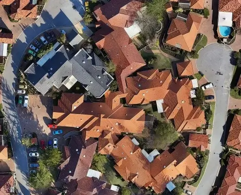
Aerial Surveying and Mapping
Our drone mapping services are ideal for capturing large sites or hard-to-access areas. With faster deployment than traditional survey methods, we help reduce field time while improving data accuracy and consistency.
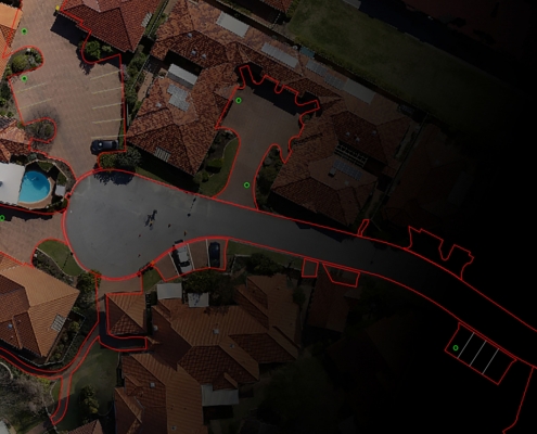
Aerial Survey to CAD Conversion
Need CAD-ready plans from drone data? We bridge the gap between site mapping and design documentation. Our team can convert aerial outputs into clean, layered CAD files for engineers, architects, and asset managers.
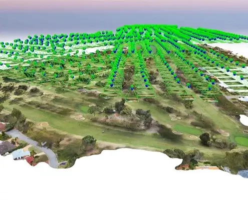
3D Point Cloud Modelling
We generate dense point clouds from drone imagery, creating highly accurate 3D representations of your site. These models support volumetric analysis, clash detection, and detailed planning.
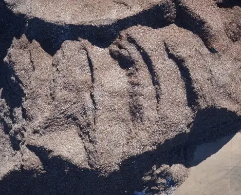
Stockpile Volume Calculations
Measure stockpile volumes quickly and safely with drone-based data. We provide precise volume reports for mining, construction, and material handling operations across WA, with no ground crew required with no ground crew required.
PERTH DRONE CENTRE
Why Choose Perth Drone Centre for Aerial Surveying?
We’re not hobbyists. We’re CAD-trained professionals, built on more than 35 years in technical drafting, spatial data, and site documentation.
You’ll benefit from RTK-equipped drones and ground control for high-accuracy data, fast turnaround with geo-referenced outputs, and seamless CAD and GIS integration to suit your workflows. Our Perth-based team offers national reach, delivering safe, efficient data capture across WA with minimal site disruption.
Request a mapping quote today to get started.

FAQs
How accurate are your aerial surveys?
We use RTK drones and ground control points to achieve centimetre-level accuracy, comparable to traditional surveying methods.
What file types do you provide?
We offer orthomosaics, DEMs, DXF, DWG, point clouds (.LAS/.LAZ), and more, all tailored to your project needs.
Can your outputs be used for planning approvals?
Yes. Our survey data supports planning submissions, site analysis, and overlays, and can be integrated into planning software or GIS.
How quickly will I receive the data?
Most projects are delivered within 48–72 hours, depending on site size and complexity.
What types of sites do you survey?
We work across construction, civil, mining, infrastructure, utilities, and land development projects throughout Perth and regional WA, from urban blocks to remote sites.
Are your operators certified?
Yes. All flights are conducted by pilots certified by CASA operating under ReOC 1013. We are fully insured and adhere to all aviation safety regulations.


